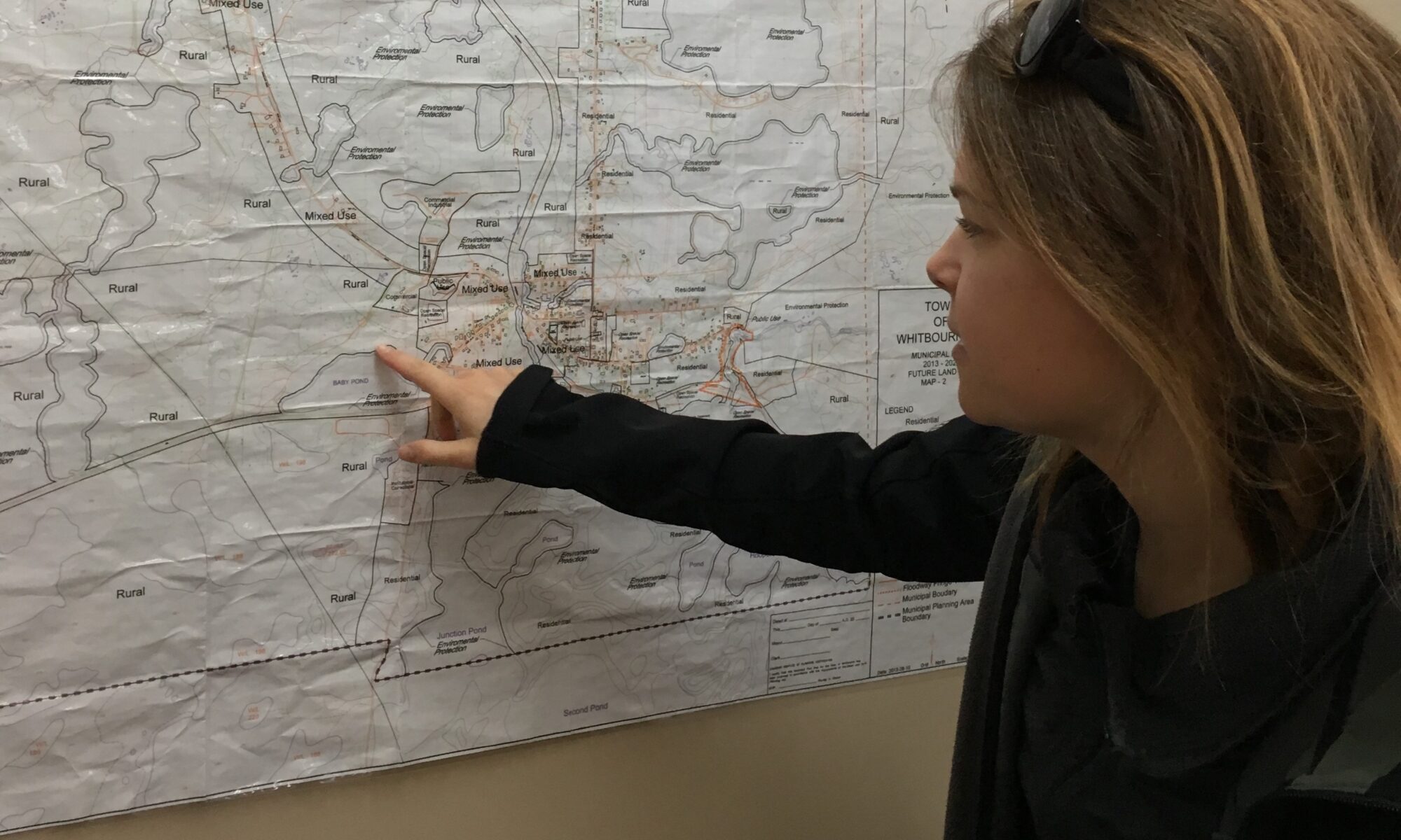
Understanding the world is easier when we can see it laid out clearly in front of our eyes.
I’m passionate about integrating spatial data and planning into wildlife conservation projects, and I’m interested in mapping, GIS, and open data. I give workshops on introductory QGIS (with Nature NL, for Geomatics Atlantic, and with my collaborators) because I think that helping new people access and learn open-source spatial software is very worthwhile. Our conservation practices are so much better when more people use GIS, yet many people think it’s too complex to get started, don’t want to move away from other tools like Google Earth, or get stuck in the early phases and give up. Introductory workshops are a great way to set people up with everything they need to know to start using QGIS.
I have compiled a list of relevant, freely available geospatial data which might be useful for environmental and conservation projects in Newfoundland and Labrador, Canada. These resources are helpful as a companion to my workshops and hopefully for GIS people too. Thank you to my many friends and collaborators who have pointed me in the right direction with GIS help and data sources over the years, especially Randal Greene, Nick White, Sara Jenkins, and Danielle Fequet.
New to QGIS? Introductory instructions below.

Here is the data to download for the Geomatics Atlantic 2020 “Introduction to GIS with conservation examples” workshop on Wednesday November 25th
Ahead of the workshop, you can also download and install QGIS
Freely available geospatial data for NL
Some basic data for building base maps
From the federal government:

CanVec – Manmade Features (dams, buildings, residential areas, etc)
CanVec – Hydrographic Features (rivers, lakes, etc)
CanVec – Land Features (shorelines, wooded areas, saturated soil, etc)
CanVec – Transport Networks (roads, trails, bridges, tracks, etc)
CanVec – Elevation (contours and points)
CanVec – Toponymy (names and labels)
There are many other CanVec products available that cover NL!
Indigenous lands in Canada – legislative boundaries

NRCan’s Geospatial Web Services List (Access these layers from right inside QGIS using the Canadian Web Services plugin. 3000+ layers for various regions across Canada, covering everything from agriculture, aquaculture, industry, shellfish harvesting, water depth, invasive species, whales, various municipal data products, etc. Not a lot of data for NL yet, but worth exploring).
From the NL provincial government:
NL Municipalities and Local Service Districts (note: this is not the municipal boundary polygons, only points)
Municipal boundaries and municipal planning area boundaries
There are other NL Opendata shapefiles

NL municipalities – Land use planning (municipal plans and development regs for every town/city that has done a municipal plan)

NL Provincial Parks (parks, wilderness reserves, ecological reserves, etc)

NL Public Water Supply Areas (for our drinking water)

Forest Access Roads (resource roads used by logging companies, other industry, etc) from the NL Geoscience Atlas
Download by clicking the hammer and wrench icon on the top bar, select Download Data, then for Layer select Forest Access Roads (or any other data you’d like).
Wildlife & nature data
Wildlife observation data (eg locations where plants, animals, fish, fungis, etc have been spotted) can be downloaded from:
GBIF: combines multiple sources like iNat and eBird, and also includes museum specimens
Species range maps from NatureServe Canada’s EBAR project

IUCN species range maps: Select the species of interest, and find the blue Download button on the right hand side of the page. Click Range data – Polygons (SHP) (you will need to log in / register).

Important Bird Areas (from Birds Canada)

NABCI Bird Conservation Regions
Other NL resources
Community Infrastructure Mapping System (NL Statistics Agency)
Land Use Atlas (Gov NL)
Apps, Maps, and Data (Gov NL)
Wetlands (City of St. John’s)
Floodplains (City of St. John’s)
Some Great Lakes resources
Shapefiles for lakes and watersheds (USGS)
Area of Concern shapefiles (St. Clair River, Detroit River)

Introductory instructions for QGIS
Before getting started with GIS for the first time:
Make sure that your computer shows file extensions (such as .pdf, .docx, .shp, etc). If it doesn’t, look under system settings or file explorer options to try to find an option called Show file extensions or similar.
Create a new folder (and subfolders) where you’ll put all your GIS data. Don’t use spaces in the names.
Download and install the correct version of QGIS (likely 64 bit, your choice between latest or long term release)
Open up QGIS, and on the top bar, choose Plugins then Manage and Install Plugins… Select QuickMapServices then Install Plugin. Then under Web, mouse over that QuickMapServices plugin and scroll down to Settings at the bottom, then on the More services tab, click Get contributed pack. Click OK on any warnings.
This will give us a collection of easy to use base maps. They aren’t perfect (some of them don’t work or are terrible), but for the beginner they are an easy way to get started and many of them are quite good.
Test out some of the base maps. Try some of the Bing, ESRI, and Stamen base maps.
I often use CartoDB’s Positron [no labels] as a quick and easy grey base map that lets the data shine.
Some other useful plugins are KMLTools (which lets you easily import .kml and .kmz), QGIS Resource Sharing (which lets you use all sorts of things from other people, but I like it mostly for the animal tracks), and the core plugin Georeference GDAL which lets you georeference maps from image files (for example, a hand-drawn map that someone gives you, or an old paper map you found that contains data you want in your GIS).
Full Intro to QGIS tutorial will be posted here soon!
Other useful GIS resources
Getting started with Python Programming by Ujaval Gandhi
QGIS courses by Ujaval Gandhi

